← Year 4 geography worksheets

Year 4 Europe: how diverse are its landscapes and places? worksheet

“Finding Europe on the map” is free to print, with no account. It is the first sheet in the Year 4 geography unit “Europe: how diverse are its landscapes and places?”, for children aged 8 to 9, and takes about 22 minutes.

Print it on A4. The child's pages come first; the answers, and what each wrong answer tells you, are on the grown-up page that follows. Weeks 18 to 23 of the year, 6 sheets in the unit.

Free sample · answers on the last page

Finding Europe on the map

Name: ____________ · Date: ____________
Year 4 · Geography · about 22 minutes
Answers are on the grown-up page

Today I can use a globe and an atlas map to find Europe and its edges.

A Look back3 min

  1. 1.

    Which letter is the far right column on this map?

    ABCDE123~N
    ABCDE
  2. 2.

    Which direction is opposite to north?

    NNEESESWWNW
    northsoutheastwest
  3. 3.

    Which side of a map is north usually on?

    NEESESSWWNW
    topbottomleftright

B Watch me, then you4 min

Ola looks at an atlas map of Europe. She wants to know which sea lies on Europe's south edge. Open your atlas at Europe too.

Watch me
NNEESESSWWNW

On a map, north is at the top and south is at the bottom.

On Ola's atlas map, the Mediterranean Sea sits along the bottom of Europe.

The bottom is south, so the Mediterranean Sea is on Europe's south edge.

Now you
  1. 1.

    Europe's west edge touches which ocean?

    NNEESESSWNW
    Atlantic OceanPacific OceanIndian Ocean

C Your turn7 min

Keep your atlas open at the map of Europe. No atlas? Ask your grown-up to find a map of Europe online. Use it and the compass to answer each question.
A school desk with a closed atlas, a pencil and a folded paper map, no writing visible
  1. 1.

    Asia is on which side of Europe?

    NNEESESSWWNW
    northsoutheastwest
  2. 2.

    The Arctic Ocean lies on which side of Europe?

    NNEESESSWWNW
    northsoutheastwest
  3. 3.

    Is the United Kingdom in Europe?

    YesNo
  4. 4.

    Vatican City sits inside which city?

    RomeParisMadridBerlin

Say it out loud: What changed from one question to the next: the compass, or the place you were asked about?

D Spot the mistake3 min
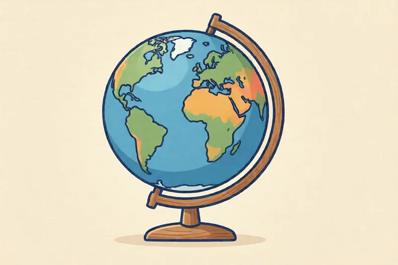
A round globe on a stand, showing a large green land mass and blue oceans, no writing
Kit says: “The UK left Europe in 2020, so it is no longer in Europe.”
  1. 1.

    In two or three sentences, explain what is wrong with Kit's idea.

E Think deeper4 min

  1. 1.

    Draw Europe as a large oval. Write its four edges in the right places. Then explain why a globe shows Europe's shape more truly than a flat atlas map.

    NESESWNW

How did it feel?

I can do it Nearly Not yet
StudyDen · Year 4 · Geography · Europe: how diverse are its landscapes and places?Answers are on the grown-up page

For the grown-up

Finding Europe on the map · 2 minutes to read

Answers, and what a wrong one tells you

A

1. E If your child picks A, they are reading the far left. Ask them to slide a finger along the bottom letters to the right.

2. south If your child says east or west, those point to the sides of the map. Opposite north is south, the bottom of the map.

3. top If your child says bottom, they have mixed up north and south. Point up the page and say north.

B

1. Atlantic Ocean If your child picks the Pacific or Indian Ocean, those are far away from Europe. Ask which ocean is on the west side of the map.

C

1. east If your child says west, they have swapped the two sides. Asia is on the east, where the sun rises.

2. north If your child says south, they have put the Arctic at the bottom. The Arctic is at the top, near the North Pole.

3. Yes If your child says No, they may think leaving the European Union moved the UK. Leaving a group does not shift a nation to another continent.

4. Rome If your child picks Paris, Madrid or Berlin, those are capitals of other countries. Vatican City is inside Rome, the capital of Italy.

D

1. Look for: Says the UK is still in Europe because it has not moved. Extra credit if they say the UK left the European Union, a group of countries. If your child only repeats that the UK left, ask: when the UK left the European Union, did the land move?

E

1. Look for: Edges in the right places (Atlantic west, Asia east, Arctic north, Mediterranean south) and a reason that a globe is a sphere so shapes stay true while flat maps stretch them.

Words to use

Say“Show me which edge you are looking at. Which way is north on this map?”
Instead of“Just tell them the answer, or say that the map is easy.”

After the sheet

Put a sheet of paper on the table as Europe. Use a book for Asia on the right and a box for the sea on the left, then say each edge aloud.

Tick what your child got right in StudyDen. Anything missed comes back in a later Look back box, so there's no need to redo the sheet.

The rest of this unit

5 more sheets come with a StudyDen plan, in teaching order:

  1. Weather or climate?(with a plan)
  2. Big cities and capitals(with a plan)
  3. Physical or human?(with a plan)
  4. Human features on maps(with a plan)
  5. Tourists at home(with a plan)

Every Year 4 geography worksheet

The worksheets plan opens a printable sheet for every lesson in Years 1 to 6, each with its answers on a separate page for you. It costs £6.99 a month or £59 a year for the whole family, with no free trial.

The full StudyDen plan adds the lessons themselves, marked as your child works, with the worksheets included. It is 7 days free, then £29.99 a month.

Both start with a free account; you choose the plan when you sign up.