← Year 5 geography worksheets

Year 5 North and South America: how diverse are their places and landscapes? worksheet

“Finding countries in the Americas” is free to print, with no account. It is the first sheet in the Year 5 geography unit “North and South America: how diverse are their places and landscapes?”, for children aged 9 to 10, and takes about 20 minutes.

Print it on A4. The child's pages come first; the answers, and what each wrong answer tells you, are on the grown-up page that follows. Weeks 7 to 10 of the year, 7 sheets in the unit.

Free sample · answers on the last page

Finding countries in the Americas

Name: ____________ · Date: ____________
Year 5 · Geography · about 20 minutes
Answers are on the grown-up page

Today I can find countries in North and South America on a map.

A Look back3 min

  1. 1.

    One point on this compass is hidden. Which direction is it? Circle your answer.

    NNEESESWWNW
    northsoutheastwest
  2. 2.

    What is in square C2? Circle one.

    ABC123SN
    treehouseschoolpond
  3. 3.

    One point on this compass is hidden. Which direction is it? Circle your answer.

    NNEESESSWNW
    northsoutheastwest

B Watch me, then you4 min

Canada and the USA are both in North America. Which way is Canada from the USA? Use the compass to check.

Watch me
NNEESESSWWNW

North is at the top of the compass.

Canada lies north of the USA.

So on a map, Canada is above the USA.

Now you
  1. 1.

    Mexico is ___ of the USA. Circle the word.

    NNEESESSWWNW
    northsoutheastwest

C Your turn6 min

Circle the continent for each country. Then answer the island question.
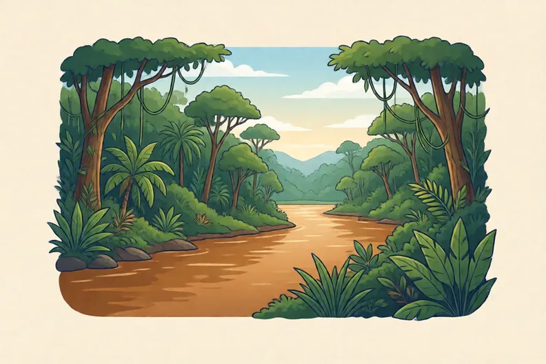
Lush green rainforest beside a wide brown river under a bright sky
  1. 1.

    Canada is in which continent? Circle one.

    North AmericaSouth America
  2. 2.

    Brazil is in which continent? Circle one.

    North AmericaSouth America
  3. 3.

    Argentina is in which continent? Circle one.

    North AmericaSouth America
  4. 4.

    Which of these is an island country in the Caribbean? Circle one.

    PeruJamaicaChileBolivia

Say it out loud: Which continent did each country belong to? How did you know?

D Spot the mistake3 min
A wide dry plain under a big blue sky with far hills
Ola says: “North America is just the USA, so Mexico is not in North America.”
  1. 1.

    Is Ola right? Write why in one sentence.

E Think deeper4 min
A wide frozen coast with snow and ice under a grey sky
  1. 1.

    Name three countries in North America that are not the USA.

How did it feel?

I can do it Nearly Not yet
StudyDen · Year 5 · Geography · North and South America: how diverse are their places and landscapes?Answers are on the grown-up page

For the grown-up

Finding countries in the Americas · 2 minutes to read

Answers, and what a wrong one tells you

A

1. south

2. house If your child says school, they have read B3. Remind them to find the letter along the bottom first, then go up to the number.

3. west

B

1. south

C

1. North America

2. South America

3. South America

4. Jamaica

D

1. Look for: Mexico is in North America; North America includes many countries, not just the USA. If your child agrees with Ola, they think North America means only the USA. Show them Canada and Mexico on a map and ask how many countries they can find.

E

1. Look for: Three North American countries other than the USA, such as Canada, Mexico, Belize, Cuba or Jamaica.

Words to use

Say“Show me where that country is on the map. Which continent is it in, and how do you know?”
Instead of“North America is the USA, isn't it? Just tell them the right answer.”

After the sheet

Lay a map or atlas on the table. Ask your child to find three countries in North America and three in South America, and say which continent each one is in.

Tick what your child got right in StudyDen. Anything missed comes back in a later Look back box, so there's no need to redo the sheet.

The rest of this unit

6 more sheets come with a StudyDen plan, in teaching order:

  1. Why the Equator is hot(with a plan)
  2. Landscapes of the Americas(with a plan)
  3. Why towns grow where they do(with a plan)
  4. Average income, hidden gaps(with a plan)
  5. Planning a Route(with a plan)
  6. Layers on a digital map(with a plan)

Every Year 5 geography worksheet

The worksheets plan opens a printable sheet for every lesson in Years 1 to 6, each with its answers on a separate page for you. It costs £6.99 a month or £59 a year for the whole family, with no free trial.

The full StudyDen plan adds the lessons themselves, marked as your child works, with the worksheets included. It is 7 days free, then £29.99 a month.

Both start with a free account; you choose the plan when you sign up.