← Year 6 geography worksheets

Year 6 Coasts: what happens where the land meets the sea? worksheet

“The sea around the UK” is free to print, with no account. It is the first sheet in the Year 6 geography unit “Coasts: what happens where the land meets the sea?”, for children aged 10 to 11, and takes about 22 minutes.

Print it on A4. The child's pages come first; the answers, and what each wrong answer tells you, are on the grown-up page that follows. Weeks 15 to 22 of the year, 8 sheets in the unit.

Free sample · answers on the last page

The sea around the UK

Name: ____________ · Date: ____________
Year 6 · Geography · about 22 minutes
Answers are on the grown-up page

Today I can name the seas around the UK and explain why a country does not need to be an island to be maritime.

A Look back3 min

  1. 1.

    Circle the compass point halfway between north and east.

    NESESSWWNW
    NESWNWSE
  2. 2.

    Which month was the wettest in this seaside town? Write it.

    Rainfall in a made-up seaside town (mm)01020304050607080JanFebMarApr
  3. 3.

    Which square has the pond? Write the letter, then the number.

    ABCD123~N

B Watch me, then you4 min

Seas and an ocean lie all around Great Britain. Use a compass and an atlas or map of the UK to find which way each sea lies.

Watch me
NNEESESSWWNW

Find north on the compass, then turn to the right.

That way is east.

The North Sea lies east of the UK.

Now you
  1. 1.

    Which sea lies to the south of England? Circle it.

    NNEESESWWNW
    North SeaIrish SeaEnglish Channel

C Your turn6 min

Use an atlas or a map of the UK. Read each clue, then circle the sea or ocean it describes.
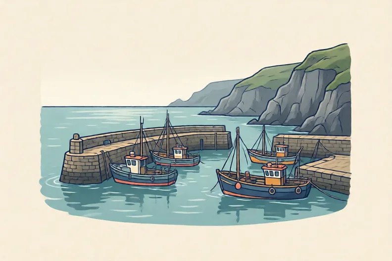
A small harbour at the edge of the sea with moored fishing boats
  1. 1.

    This sea lies between Scotland and Norway. Circle it.

    North SeaIrish SeaEnglish ChannelNorth Atlantic Ocean
  2. 2.

    This sea lies between Great Britain and Ireland. Circle it.

    North SeaIrish SeaEnglish ChannelNorth Atlantic Ocean
  3. 3.

    This sea lies between England and France. Circle it.

    North SeaIrish SeaEnglish ChannelNorth Atlantic Ocean
  4. 4.

    This lies west of Ireland, far out from the coast. Circle it.

    North SeaIrish SeaEnglish ChannelNorth Atlantic Ocean

Say it out loud: Which words in the clue told you the answer?

D Spot the mistake4 min

A maritime nation is a country whose people depend on the sea for work, food and trade.
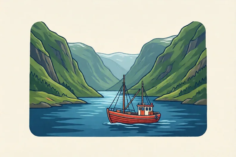
A steep Norwegian fjord with a red fishing boat on deep blue water
Ola says: “Only islands can be maritime nations, so Norway cannot be one.”
  1. 1.

    Is Ola right? Explain in a sentence.

E Think deeper4 min

Families out of 10 who earn a living from the sea (made-up)012345678910Place APlace B
  1. 1.

    Place A is an island, but its people hardly use the sea. Place B has land borders, and fishing and sea trade feed most families. Which place is more maritime? Explain why.

How did it feel?

I can do it Nearly Not yet
StudyDen · Year 6 · Geography · Coasts: what happens where the land meets the sea?Answers are on the grown-up page

For the grown-up

The sea around the UK · 2 minutes to read

Answers, and what a wrong one tells you

A

1. NE If your child circles NW or SE, ask them to start at north and turn clockwise towards east. The point halfway between them is NE.

2. Look for: March, because its bar is the tallest. If your child writes January, they picked a tall bar but not the tallest. Ask them to run a finger along the top of each bar and find the highest.

3. Look for: B1: the letter B along the bottom, then the number 1 up the side. If your child writes 1B, they read the number first. Ask them to read the letter along the bottom, then the number up the side.

B

1. English Channel

C

1. North Sea If your child circles the North Atlantic Ocean, ask: is Norway to the east or the west of Scotland?

2. Irish Sea

3. English Channel If your child circles the North Sea, ask: is the North Sea between England and France, or east of the UK?

4. North Atlantic Ocean

D

1. Look for: No: a country does not have to be an island to be maritime. Norway has land borders, but it has a long coast and its people depend on the sea. If your child says Ola is right, ask: does a country have to be an island to depend on the sea? Find Norway on a map and look at its coast.

E

1. Look for: Place B, because its work and food depend on the sea; being an island alone does not make a place maritime. If your child chooses Place A because it is an island, ask: what do the people in each place earn their living from, and what do they eat?

Words to use

Say“Show me where the North Sea is on the map. Which way is east?”
Instead of“Just learn the names of the seas and do not worry about where they are.”

After the sheet

Draw a rough outline of the UK on paper, then use a real compass or the compass points on an atlas page to mark and label the four seas and oceans.

Tick what your child got right in StudyDen. Anything missed comes back in a later Look back box, so there's no need to redo the sheet.

The rest of this unit

7 more sheets come with a StudyDen plan, in teaching order:

  1. Reading the coast map(with a plan)
  2. How waves shape the land(with a plan)
  3. Coasts that keep changing(with a plan)
  4. Protecting the Coast(with a plan)
  5. Coastal habitats at risk(with a plan)
  6. Coasts and tourism(with a plan)
  7. Coasts in a warming world(with a plan)

Every Year 6 geography worksheet

The worksheets plan opens a printable sheet for every lesson in Years 1 to 6, each with its answers on a separate page for you. It costs £6.99 a month or £59 a year for the whole family, with no free trial.

The full StudyDen plan adds the lessons themselves, marked as your child works, with the worksheets included. It is 7 days free, then £29.99 a month.

Both start with a free account; you choose the plan when you sign up.